|
|
|
| Number of Peaks Climbed | 4 |
| Peaks Climbed | Sawteeth, Iroquois, Marshall, and Seymour |
| Peak Height Ranks | 8, 25, 34, and 35 |
| Trailed / Trailess Peaks | 1 / 3 |
| Peak Numbers | 38, 39, 40, and 41 |
| Total Elevation Gain | xxx feet |
29 June 2011
Over the river and through the woods..: We started out late on the evening of 29 June flying to Detroit with our daughter and son to visit Grandma and Grandpa. This was the first flight for Rachel (2 years) and Merrick (5 months) and they both did great.
30 June 2011
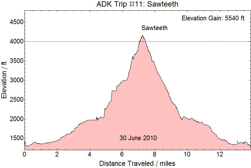
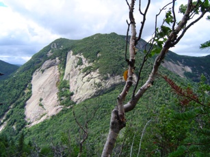
... to the Adirondacks we go: We snuck out of Detroit in the wee hours of the morning and flew to Albany International Airport (via Dulles, if you can believe that) landing at about 0930. Retrieving our gear from baggage claim and picking up the rental car we were on the road and arrived at St. Hubert's around 1200. Starting at the public parking area on NY73 near the Ausable Club (I'm originally from Michigan - and they're wrong here - the correct spelling is Au Sable) we hiked the 4.0 miles down to the end of the Lake Road and the beginning of the Weld Trail. Then 1.9 miles up to the summit of Sawteeth, arriving at about 1545. A little bit of a disappointment; the trail was a lot of work for not good views at the top of the Sawteeth. We did get some nice shots of Pyramid, Gothics, and some of the Great Range a short way down from the peak, though.
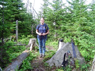
Money Shots: Sawteeth (38) - Summit 2010-06-30 08:30 EDT
Pyramid and Gothics and, apparently, not Rainbow Falls - Summit 2010-06-30
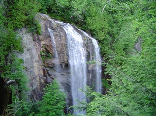
Hiking down the mountain was more or less uneventful. The real fun began when the rain started picking up just as we were reaching the Lake Road.
Crossing the Au Sable River as the rain begins in earnest 2010-06-30 17:40EDT

01 July 2010:
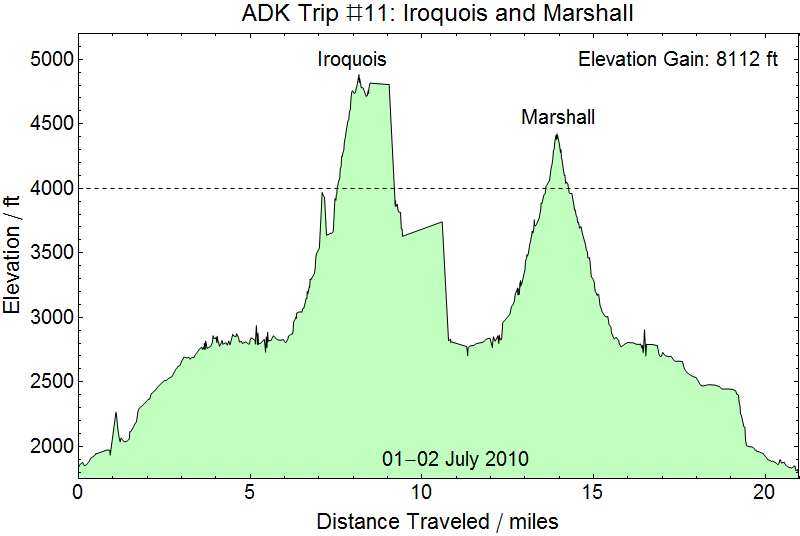
Ascending Algonquin from Lake Colden: The plan was to hike in to Calamity Lean-To, drop our packs, then up to Lake Colden for Iroquois Peak. After Iroquois, if the weather was nice and we were making good time, we were going to re-summit Algonquin then pick up Mount Marshall on the way back to the Lean-To. At that point we'd make the call whether to hike out that night or to stay until morning. Ha! Although the forecast had been for a few showers in the morning and clearing in the afternoon it rained ALL day (and well into the night). This ascent of Algonquin/Iroquois is almost universally described as the most relentless ascent in all of the Adirondacks. It certainly was among the most relentless ascents we've made. The trail also spends a remarkably large amount of time involved with the brook coming down between Algonquin and Boundary Peak. We've seen many complaints about the trail crossing the river too many times. Personally, I didn't mind the large number of crossings - it was the large amount of the trail that WAS the river that got a little frustrating. At least it was frustrating in the cold and rain and the river more than a little swollen because of the cold and the rain. Did I mention it was cold? It was probably below 50 F on the top half. But we finally reached the col where it was probably 40 F with 25 mph winds gusting to 35 mph across the ridge driving a light cold rain. The wind direction was across the ridge, so there wasn't much relief except in the brief wooded sections along the way. We dropped our GPS and realized it, apparently about 100 yards after doing so, and turned to see a pair of hikers from Montreal coming up behind us who had picked it up. They reached Boundary Peak about a minute before us and waited for us to catch up to ask if we knew whether or not we had reached Iroquois (which could not be seen a mere 1500 feet away). That's where GPS units with loaded maps come in handy! Nope!
On to Iroquois: The guys from Montreal got there first and were actually coming back down when we ran into the last major obstacle: a rock scramble that either Kristy or I might have accomplished alone on a warm dry day. But with cold hands and wet rocks we simply couldn't get enough purchase to pull ourselves up. So, we finally pulled it off by Kristy pulling herself up as far as she could, me coming up behind her and shoving her up onto the rock, then me pulling myself up as far as I could and Kristy offering a hand to pull me up the rest of the way. We simply couldn't have pulled this off alone on such a day. After that last obstacle it was an easy walk of about 50 yards to the massive cairn erected on the peak. We snapped pictures and got ready to head down the mountain. After scrambling back down that last obstacle we had encountered we realized the GPS unit had shut down. It's extremely difficult to turn this model on and off because it is a weatherized model for hiking and the power button is both covered in rubber and requires pressure for several seconds before turning the unit either on or off. But it has simply shut down on a couple of occasions, so we assumed it had just done that and tried to turn it back on. No dice. We were very frustrated because we had been sure to change the batteries before beginning the hike. Oh well.
Money Shots: Iroquois (39) - Summit 2010-07-01 13:30 EDT
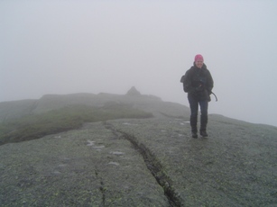

The going had been slow from a little above Lake Colden and by the time we had gotten to the top we were soaked and cold and I had boots that were full of water. The descent wasn't much quicker, but about 10 minutes after we got well into the descent from the col the GPS unit beeped. Kristy look at it as it finished booting up, registering satellites, and locking on our location. The batteries hadn't run down after all. They had simply gotten too cold while we were on the ridge to power the unit! Overall, however, we had poor GPS lock on much of this hike, as the plot at the top of the page shows. We got back to the Calamity Lean-To about 1730, changed into dry clothes, and started preparing to bed down.
In the middle of the night several hikers arrived and climbed into the other half of the lean-to. For a change I wasn't happy to have company. I had been sleeping well before they arrived and they woke me up. Also, I can snore pretty loudly, especially while lying on my back (fortunately, Kristy can sleep through my snoring pretty well). On the hard floor of the lean-to that's pretty much the only comfortable way for me to sleep, but I felt obliged to roll onto my side to lessen my snoring, which meant I slept fitfully and poorly the rest of the night. Imaging my surprise when I realized as the light was starting to break that they were gone. Kristy told me they had left about an hour after they arrived, apparently during on of the periods I was asleep, and I had never realized it.
02 July 2010
Marshall: The morning started out clearing and cool and we were on the trail at about 0530. About 0.6 miles to the trailhead and on to Marshall. The first 1/4 mile is an easy climb then you hit the ascent. The ascent was rugged, but only about a mile. Still, with my boots now wet (but at least no longer soaked) it was no quick ascent and we ended up back at the Calamity Lean-To at about 1130. We'd packed up in about an hour and were on the way out. We stayed at Shaheen's Motel that night (as before, highly recommended for staging peaks in the Seward Range!) and got on the trail for Seward at about 0630.
Money Shots: Marshall (40) - Summit 2010-07-02 09:00 EDT
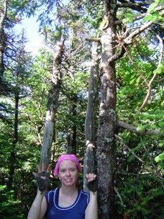
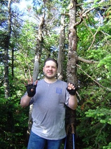
03 July 2010
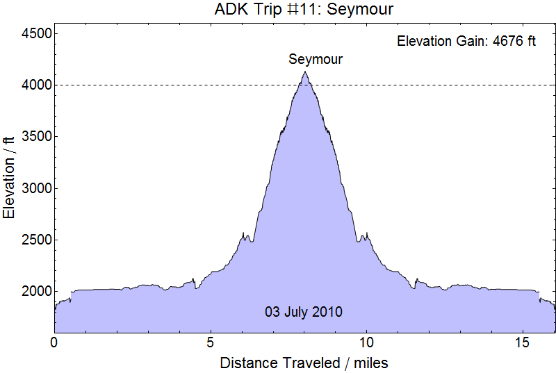
Seymour: Seymour was an orphan of sorts, having planned to summit Seymour during our ill-fated trip in 2008. We made fantastic time down the Blueberry Foot Trail and the Ward Brook Truck Trail covering the 5.6 miles to the trailhead in just slightly under 2 hours. So we started up the Seymour herd path just before 0830. We hit the peak at 1115 after wandering around a little bit to find it. The couple that started up just before us on the Seymour Trail were glad to see us arrive. They had apparently not had as much difficulty finding the path as we did. We'd also been passed by one lone hiker on the way up while all three of us were wandering around a little looking for the path.
Money Shots: Marshall (40) - Summit 2010-07-03 11:15 EDT
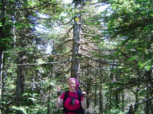
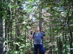
Kristy, Hiker, and Ampersand Lake - Seymour 2010-07-03 11:30 EDT

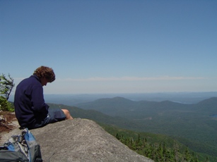

We started down from Seymour about 1145 and reached the Blueberry Lean-To at about 1400 where we found the couple packing up their camp. We had a nice discussion about various hikes in the Adirondacks, then got back on the Truck Trail 1415. This was one of the groups that had harrowing stories about Spiderman Rock and got noticably disturbed when we mentioned we descended Gothics in the direction of Sawteeth and the Orebed Trail. We were back at the parking lot about 1600 and headed off for Albany for the morning flight back.
4-5 July
Back in Detroit about 0930, we spent a tired 4th with most of my family then flew back to DC the morning of the 5th.
30 June - 3 July 2010 (Trip 11)
Our latest peaks were, in order, Sawteeth, Iroquois Peak, Mount Marshall, and Seymour Mountain. This was a fairly successful trip, accomplishing almost all of our goals.
Next trip: We might return this year for Rocky Peak, Iroquois, and Marshall. Or maybe Allen.
Child stats: Rachel - 2 years 2 months, Merrick - 5 months.