|
|
|
| Number of Peaks Climbed | 3 |
| Peaks Climbed | Dial, Nippletop, and Colvin |
| Peak Height Ranks | 13, 39, and 41 |
| Trailed / Trailess Peaks | 3 / 0 |
| Peak Numbers | 20, 21, and 22 |
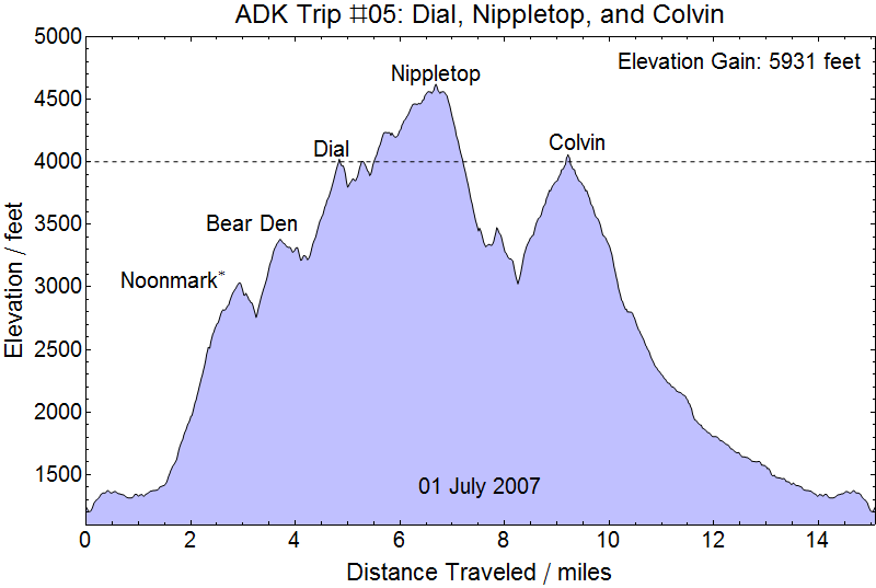
| Total Elevation Gain | 5809 feet |
30 June 2007
To Keene Valley: We drove from Boston to Keene Valley having attended our friends' wedding in Boston and learned a lesson for "hotel" camping in the Adirondacks. Definitely book rooms ahead of time, especially if one plans stay in smaller towns like Keene Valley and not up in Lake Placid. There was almost no room at the inn - but we did manage to get into the Au Sable Inn, which is a bit rustic, but warm rooms, showers, and beds are a great luxury after day long hikes AND day long drives. We got dinner a little late and our host was curious to know what our hiking plans were. We told her that we were heading out for Dial, Nippletop, Colvin, and Blake the next morning and she considered that an ambitious trip.
01 July 2007
The Lake Road: We were in the parking area in St. Huberts off Route 73 and next to the Ausable Club by first light, perhaps about 0500 or a little later. We moved down to the sign in post at the bottom of the Lake Road and we were heading up the road by about 0515 or perhaps a little later. After our experience the year before trying to navigate around the Beaver pond on the way to Street and Nye we had added a GPS unit to our list of hiking equipment. Ironically, the way the unit saves waypoints I have no way of retrieving actual trail times from the trakcs, which seems like a remarkably silly design, but we still at least have times recorded on pictures from our digital camera.
We made exceptionally good time on the road (who wouldn't?) and continued to make good progress up the Leach trail, crossing over the shoulder of Noonmark Mountain at about 0630 and over Bear Den at about 0710...
On the shoulder of Noonmark...
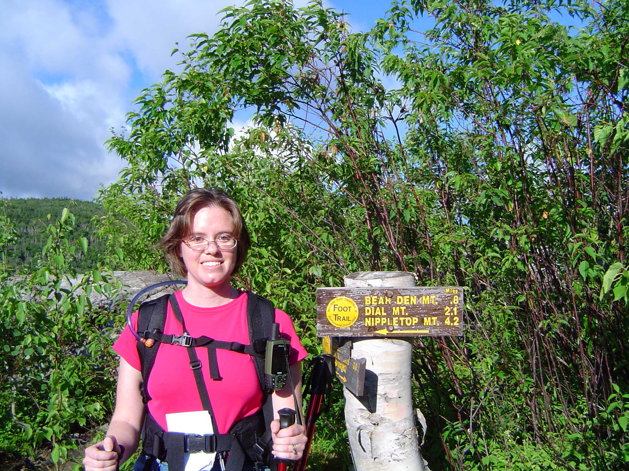
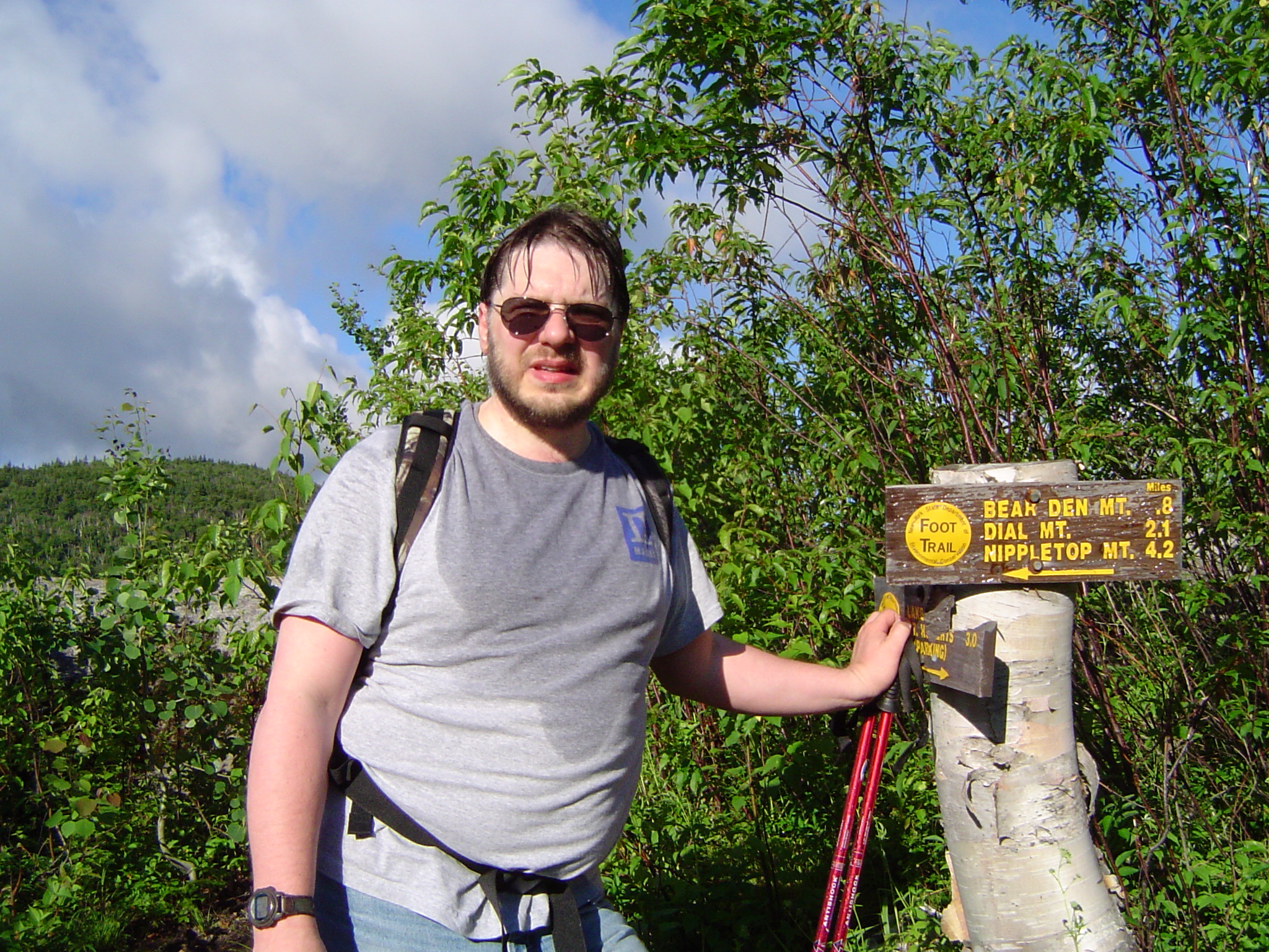
And over Bear Den


We continued to make good progress as we moved on to the summit of Dial by about 0805 for our first real peak of the day.
Money Shots: Dial Mountain (20) - Summit 2007-07-01 08:05 EDT


Still moving pretty good: After having made pretty good time on the trail all the way to Dial, the relativel steep descent of Dial and steeper ascent of Nippletop sterted to make a real impact on our progress. But we were still making reasonable time and though the final ascent of Nippletop had some rock scrambles that slowed us up a bit we were still able to make it up to the peak before 1000.
Money Shots: Nippletop (21) - Summit 2007-07-01 09:55 EDT

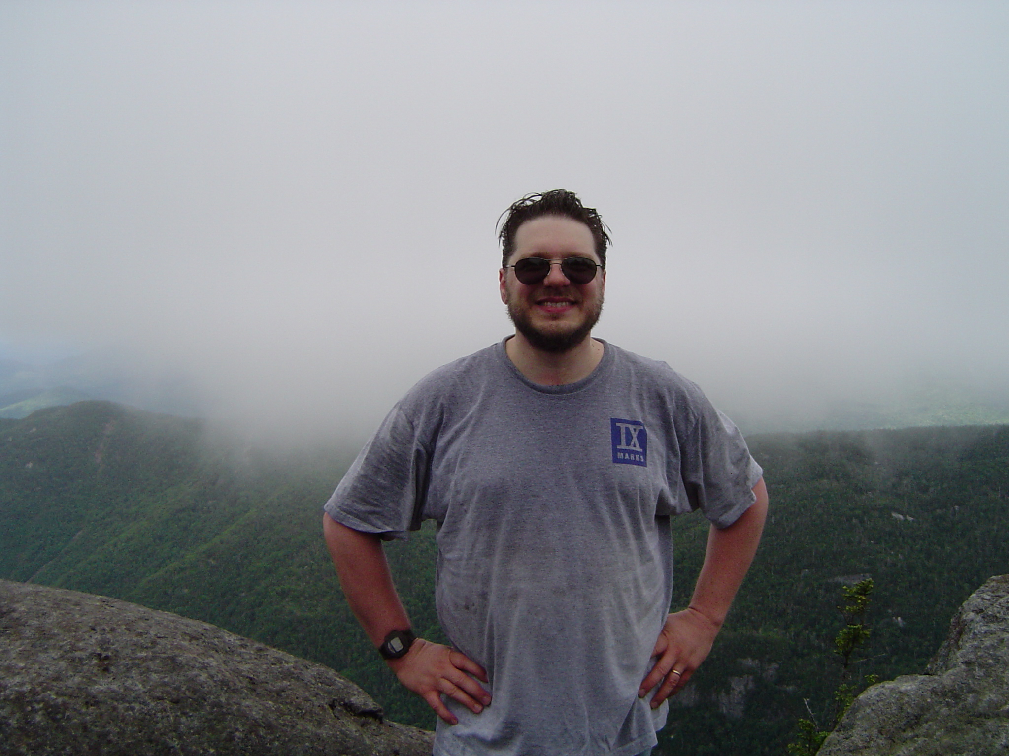
Down the tall mountain: It was a bit of working getting up on Nippletop, but going down the other side of Nippletop proved to be a real time killer for us. That side of the peak is relentlessly steep and we were moving pretty slow. Our pace didn't pick up much better when we finally started back up toward Colvin, but we did lose quite a bit of time by missing the turn up the Mountain and moving a bit down the Gill Brook trail before realizing our mistake and heading back up. What a great thing it was to have our GPS on hand to confirm our bearings for us! We of course passed Elk Pass along the way - at about 1130.
Elk Pass Pond

The ascent of Colvin from the trail junction was pretty easy until the last 100 feet where we ran into the large boulder that must be scaled to reach the summit. Kristy was able to negotiate this with some difficulty, but I struggled to find a solution and we eventually had to have Kristy tie a rope off and toss it down to me so that I could pull myself up.
Money Shots: Mount Colvin (22) - Summit 2007-07-01 13:45 EDT


Difficult decisions: We probably spent 15 minutes on Colvin debating our next move. After the slow descent of Nippletop I was concerned about our potential pace over to Blake and and back. Kristy was anxious not to add another orphan to our growing list, escpecially since there were really no other options for Blake than to reclimb Colvin, but I was also concerned about the heavy clouds gathering and which can be seen in Kristy's picture on Colvin. In the end, I called the hike and down we went to the Lake Road.
Some more pictures from Colvin

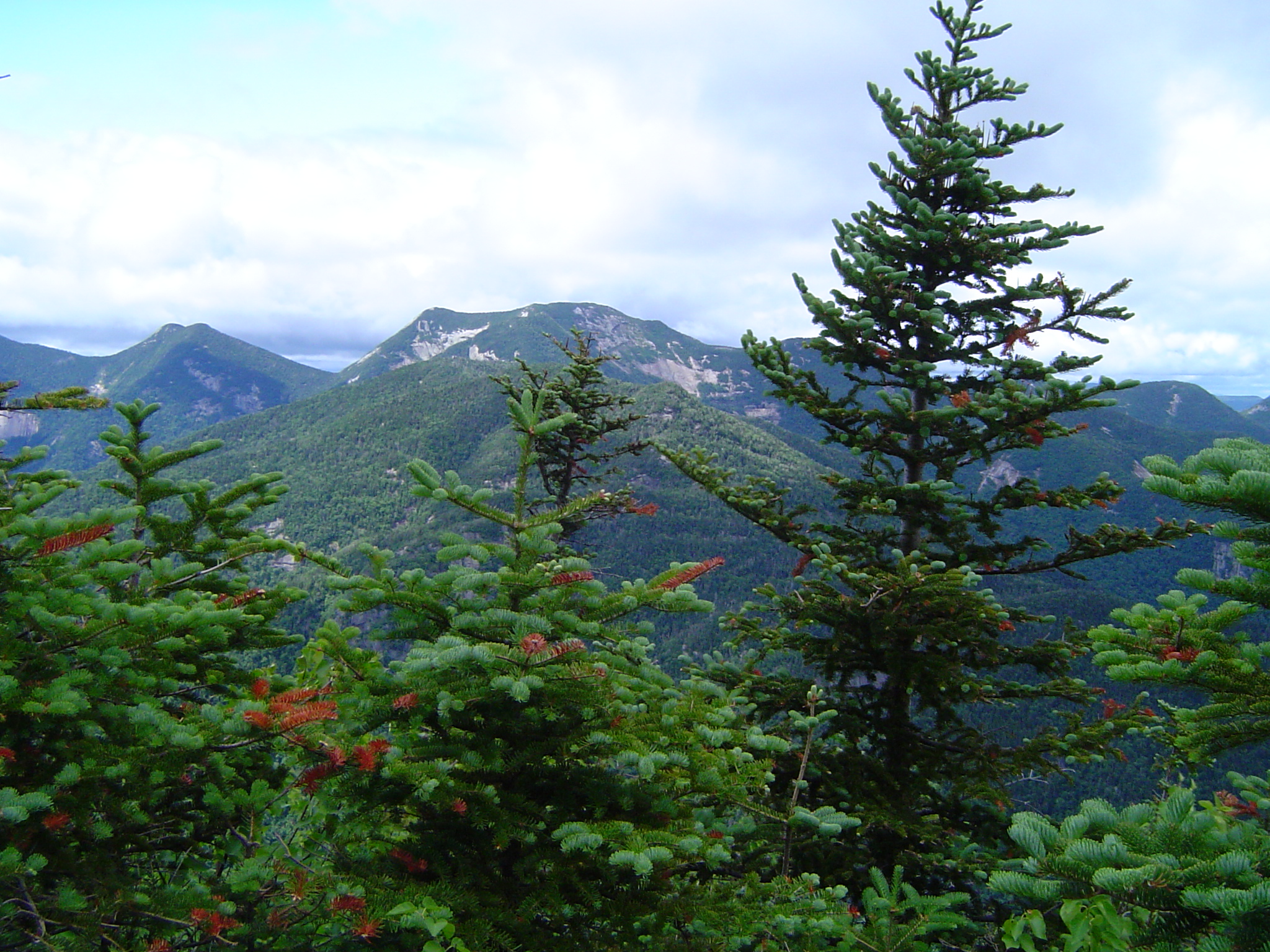
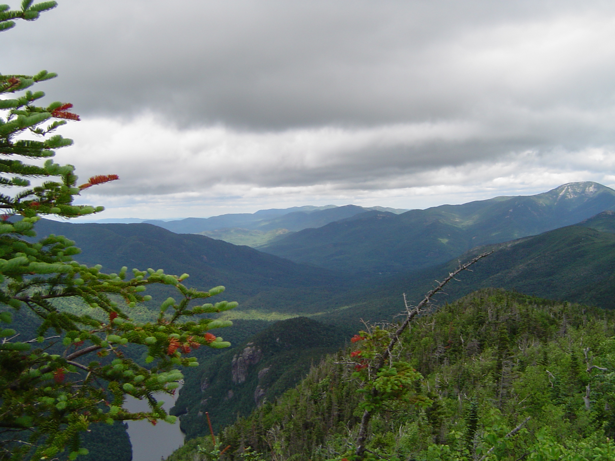
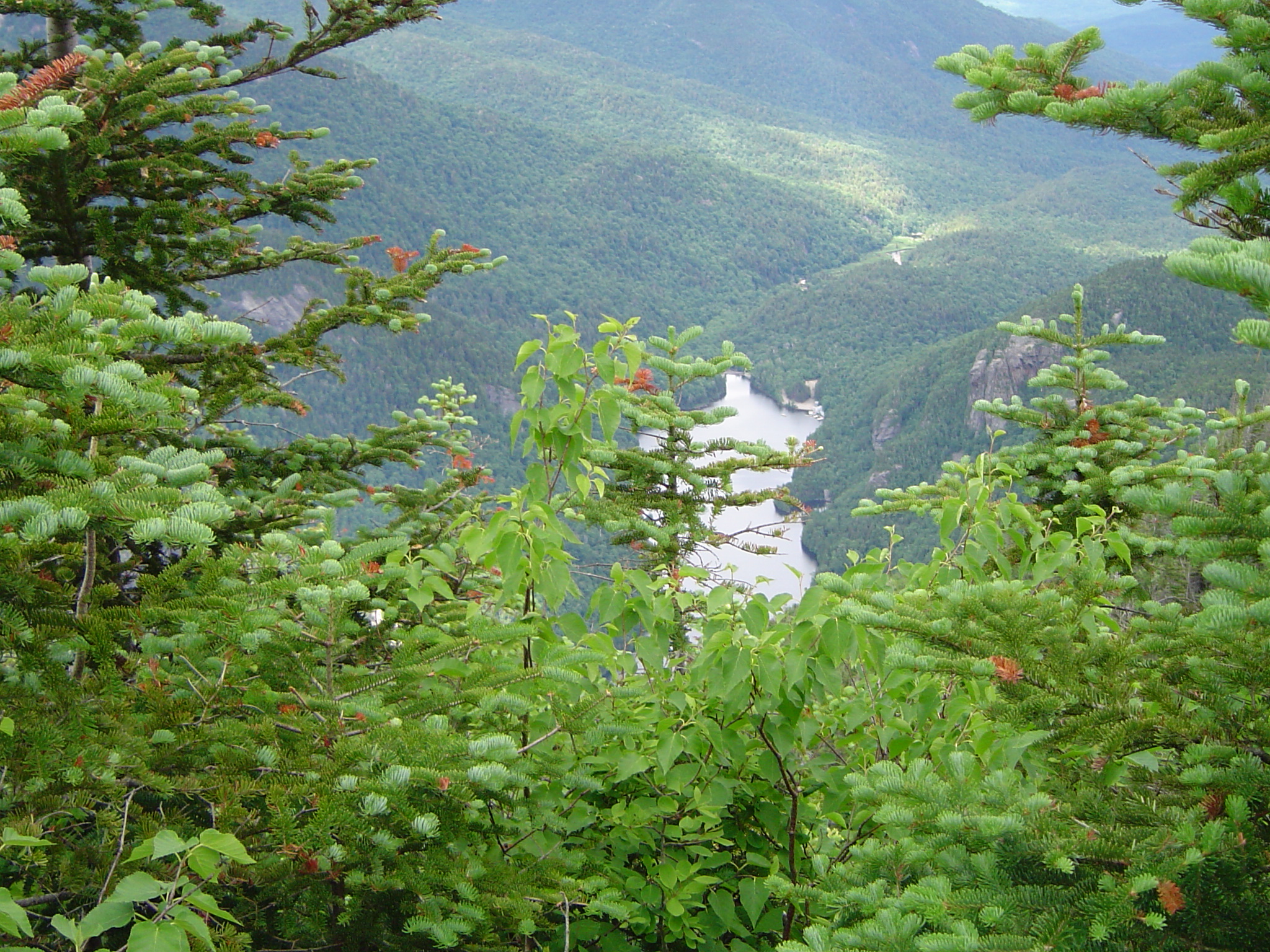
Racing the rain - and fellow hikers: The descent was a bit slow, but eventually picked up and we had an uneventful trip down to the Lake Road. We quickly ended up approaching a group ahead of us that were traveling a bit more slowly, but for some reason decided they couldn't be passed, so they pushed harder and found themselves regularly pushing their pace up to keep ahead of us. We were happy for the company, but with rain looming I was in no mood to slacken our pace for their sake and we pushed them out all the way to the end of the Lake Road. The rain had started perhaps five minutes before we reached the sign-in post, but the trees over the Lake Road had kept us dry so far. After signing out we were less protected heading toward the parking area.
A sight for sore feet: We were not a little wet when we finally got to the car. How thankful I was to reach the car - and not wet and getting wetter up on the mountain. Another welcomed addition to our camping gear was our boots. For the first four trips we had worn the hiking boots we bought at K-mart. Wow. At the end of each day of hiking our feet had always been sore and just assumed that was a part of hiking on a lot of rocks. We had read in a trail write-up over the past year a comment from a hiker: "Expensive hiking boots - priceless." So for Christmas the year before we had picked up professional hiking boots at Cabelas. Kristy had the store brand and I had a pair of Meindl's made for Cabelas. This was one of our longer hikes so far and the only thing that DIDN'T hurt when we got to the car was our feet! What a revelation. Back to the Ausable Inn we went for a nice hot meal, a shower, and a warm bed before driving home.
Next trip: We hope and plan to be back for a second trip this year, but have no idea what the goals for that trip will be yet.